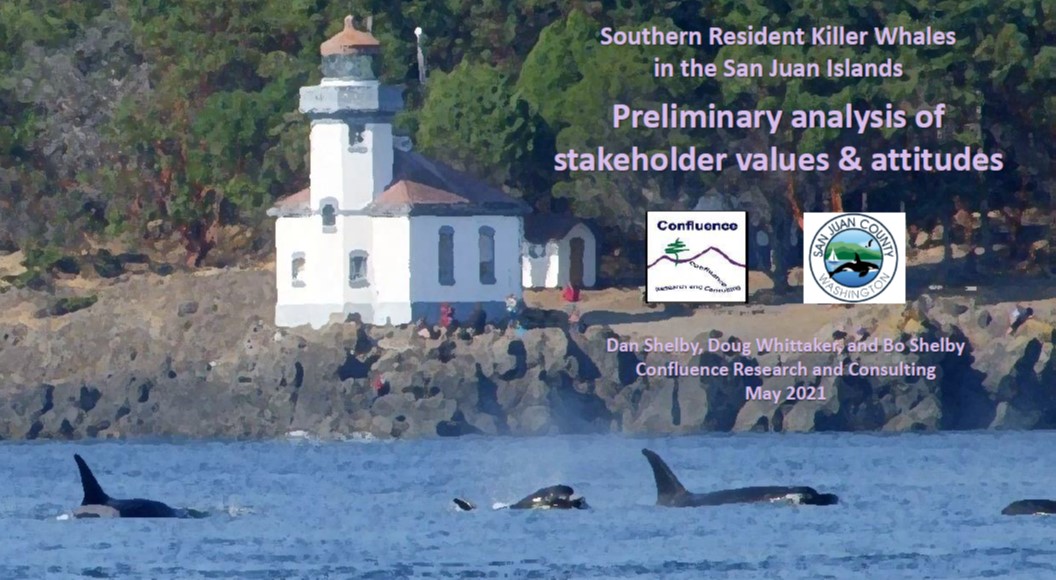
The core summer critical habitat of the endangered Southern Resident killer whales is located in the heart of the Salish Sea; a region held in high regard by the local community and Coast Salish Tribes that call the San Juan Islands home.
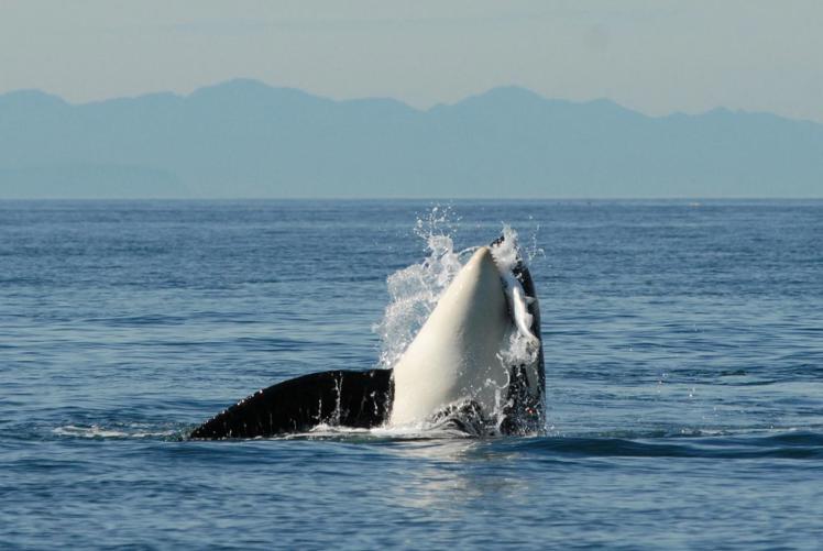
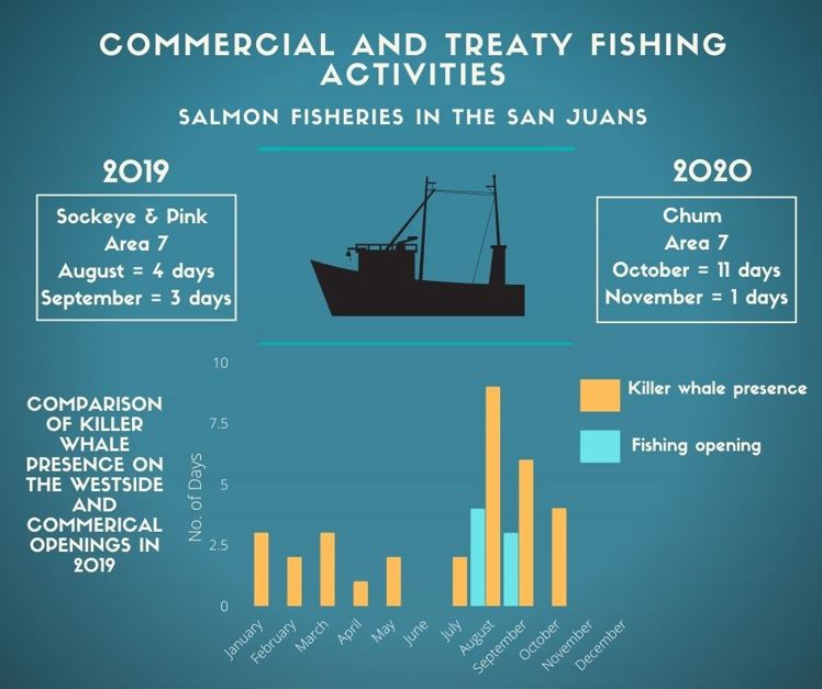
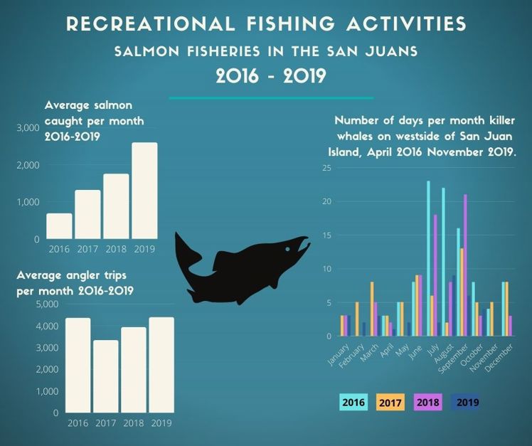
The waters off the west coast of San Juan Island are an important foraging area for the whales as they are one of the primary migratory corridors for returning Fraser River Chinook salmon, critical to the summer/fall diet of the Southern Residents. The area is also important for salmon fishing for Coast Salish Tribes, commercial, and recreational fishing. The San Juan Islands are usual and accustomed fishing and hunting areas for Coast Salish Tribes. But the Southern Residents are susceptible to disturbance from noise and presence of vessels.
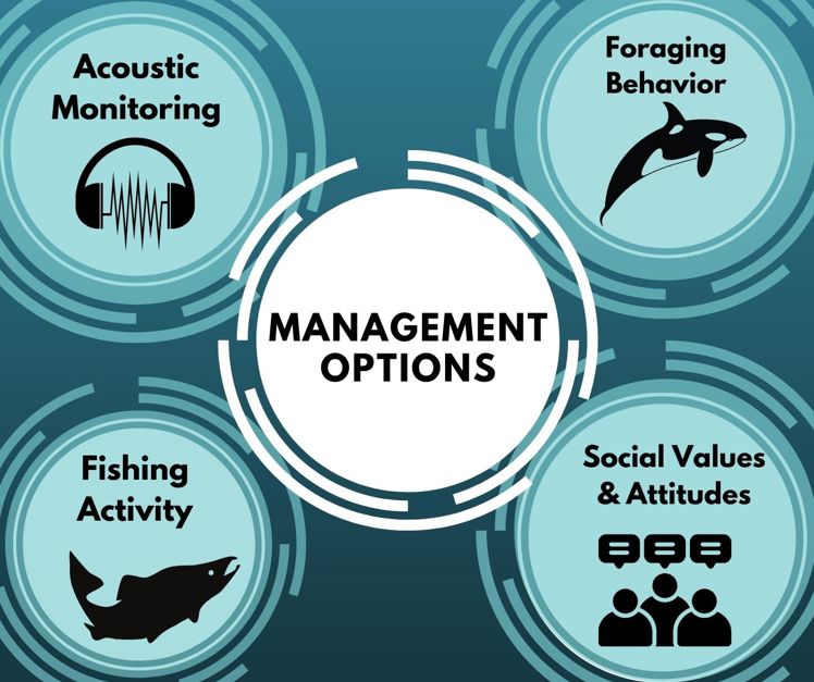
San Juan County Department of Environmental Stewardship, with the support of the Marine Resources Committee identified Southern Resident killer whales (SRKW) foraging hotspots. The project undertook the following research and engagement efforts:
- analysed whale presence and behavior on the west side of San Juan Island
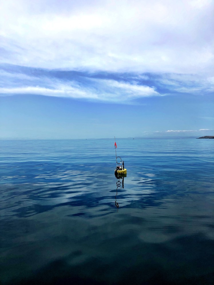
- collected acoustic data to understand the underwater soundscape,
- conducted an assessment of community values,
- compared whale presence to fishing activity on the west side of San Juan Island.
The results of the monitoring, analysis, and engagement efforts, combined with the latest best available science addressing the impacts of vessels on the SRKW, point to the need for additional protections for SRKW foraging habitat.
San Juan County and the MRC weighed the evidence presented by the science and assessed the input of local stakeholders to define a Quite Foraging Area for the whales. Recommending an integrated management strategy that combines mandatory go-slow and restricted activity zones, within timing limitations. This approach will provide the most balanced approach to protecting the endangered whales while allowing for some vessel-based activities and respecting the sovereignty of local Coast Salish Tribes and their Usual and Accustomed fishing areas.